SNO-MO

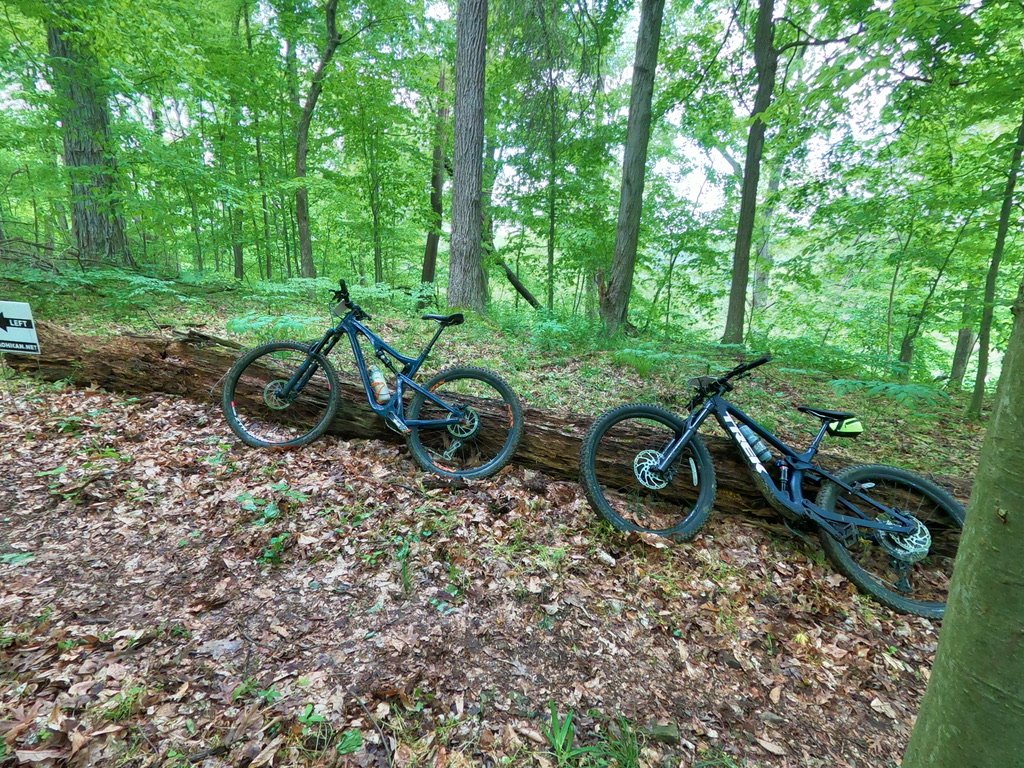
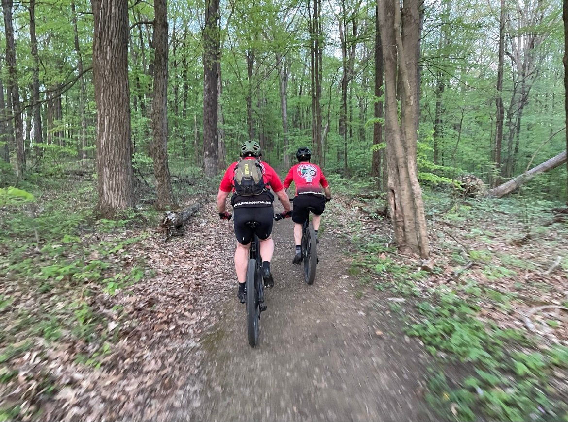
Sno-mo excuses…this trail is a great place to begin a ride

This is a great place to start for a moderate ride. Navigating roots will be priority, but you’re rewarded with a flowy ride through a mile of standing pines. You can ride the full loop from here, too.

There is a primitive restroom, parking, and trail map at this trailhead.


Sno-Mo to Park Road 51

Roots, roots, and more roots. But this approximate 4-mile ride is easy to moderate, so perfect for all riders. Take Park Road 51 south to return to the trailhead and parking.

Length: 4.00 miles

Highest Elevation: 1,236 feet

Rating: 00

Sno-Mo to Gorge

This 8-mile ride crosses Park Road 51 and leads you to a connector trail that cuts over to the Gorge Overlook. Be ready for a couple of monstrous climbs once you cross the road.

Length: 8.00 miles

Highest Elevation: 1,350 feet

Rating: 00

Sno-Mo to Campground

We call this No-Mo to Campground, but you cut through the campground to keep riding and return to your vehicle. This route takes you across the covered bridge toward the end of your ride.

Length: 14.40 miles

Highest Elevation: 1,348 feet

Rating: 00

Full Loop

You can complete the full 23-mile loop starting at Sno-Mo if you dare. It will test your strength and stamina.

Length: 23.00 miles

Highest Elevation: 1,363 feet

Rating: 00