Covered Bridge to Sno-Mo

Trail Snapshot
Trailhead
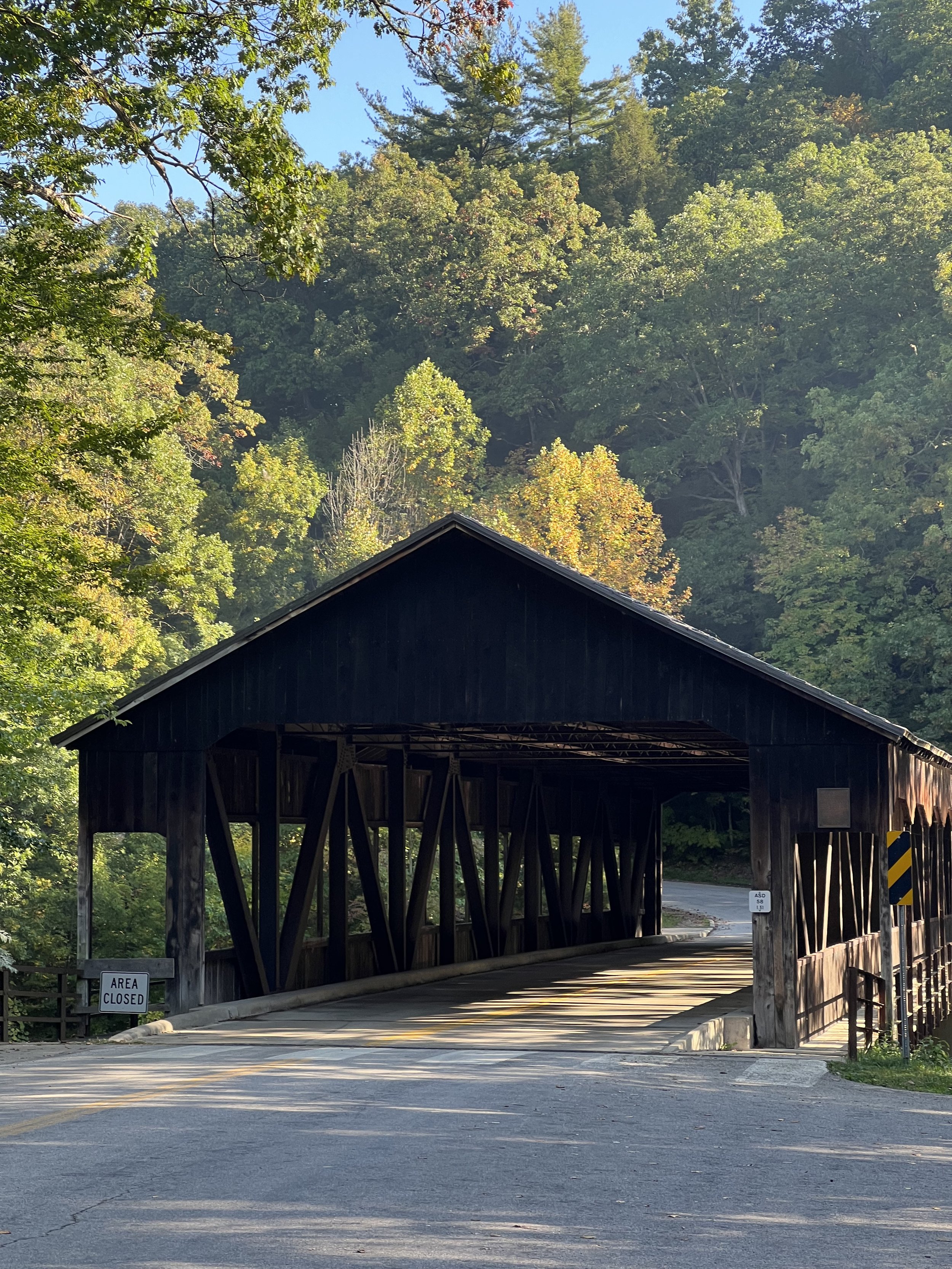
Mohican Covered Bridge
The trail entrance is located approximately 30 yards south of the covered bridge, along the paved park road on your right. After reaching the Sno-Mo parking lot, return to your vehicle by following the park road back to the trailhead.
About the Trail
Want a little more mileage than the covered bridge-to-road section? Continue across Park Road 58 and ride approximately 2 more miles to Park Road 51. Turn right onto Park Road 51, then coast back toward Park Road 58 and your vehicle.
There is ample parking and restrooms on the west side of the river.
The first mile or so features steady climbing with several switchbacks. After that, you’ll encounter a couple more climbs, but overall, it’s a relatively moderate ride. When you cross Park Road 58, you’ll have the option to tackle a rock feature or take the easier line around it.
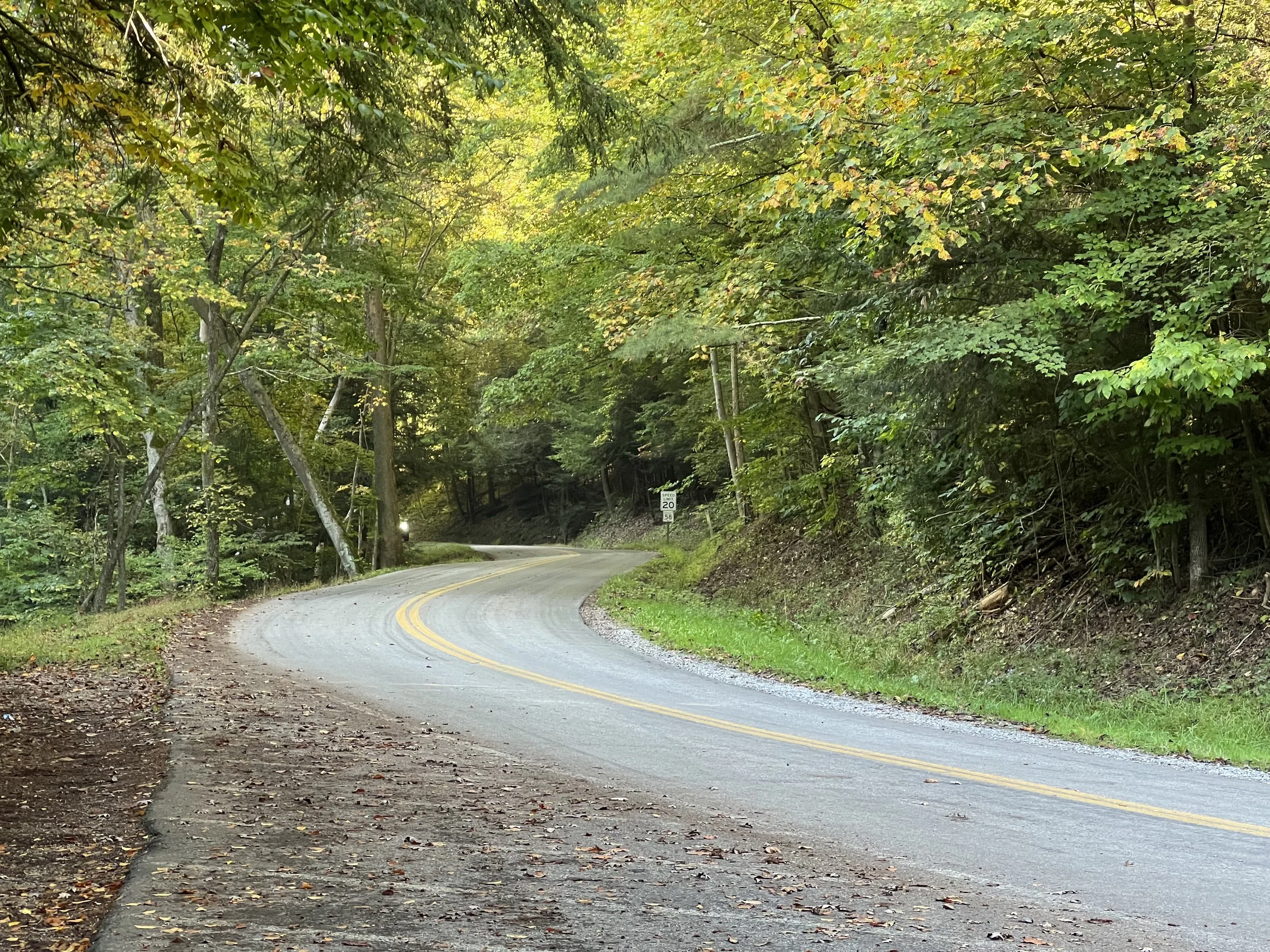
Near the end of the route, there’s one final short climb before a fun downhill stretch that brings you back to your vehicle along the park road.
Trail Map
Know Before You Go
The following amenities are available at this trail.
Photo Gallery
On-Trail Etiquette
Help keep the trail safe and enjoyable for everyone by following these simple guidelines.
Protect wildlife and prevent erosion by remaining on designated routes.
Cyclists yield to hikers and horses. Hikers yield to horses.
Speak calmly when approaching horses so riders and animals know you're there.
Leave no trace. Carry out everything you bring with you.
Maintain a safe speed and be prepared to stop for other trail users.
Avoid closed or muddy trails to protect the surface and ensure everyone's safety.
Love the ride? Give back.
Help support the trails, riders, and community that keep mountain biking moving.