The Whole Chimichanga
Trail Snapshot
Trailhead
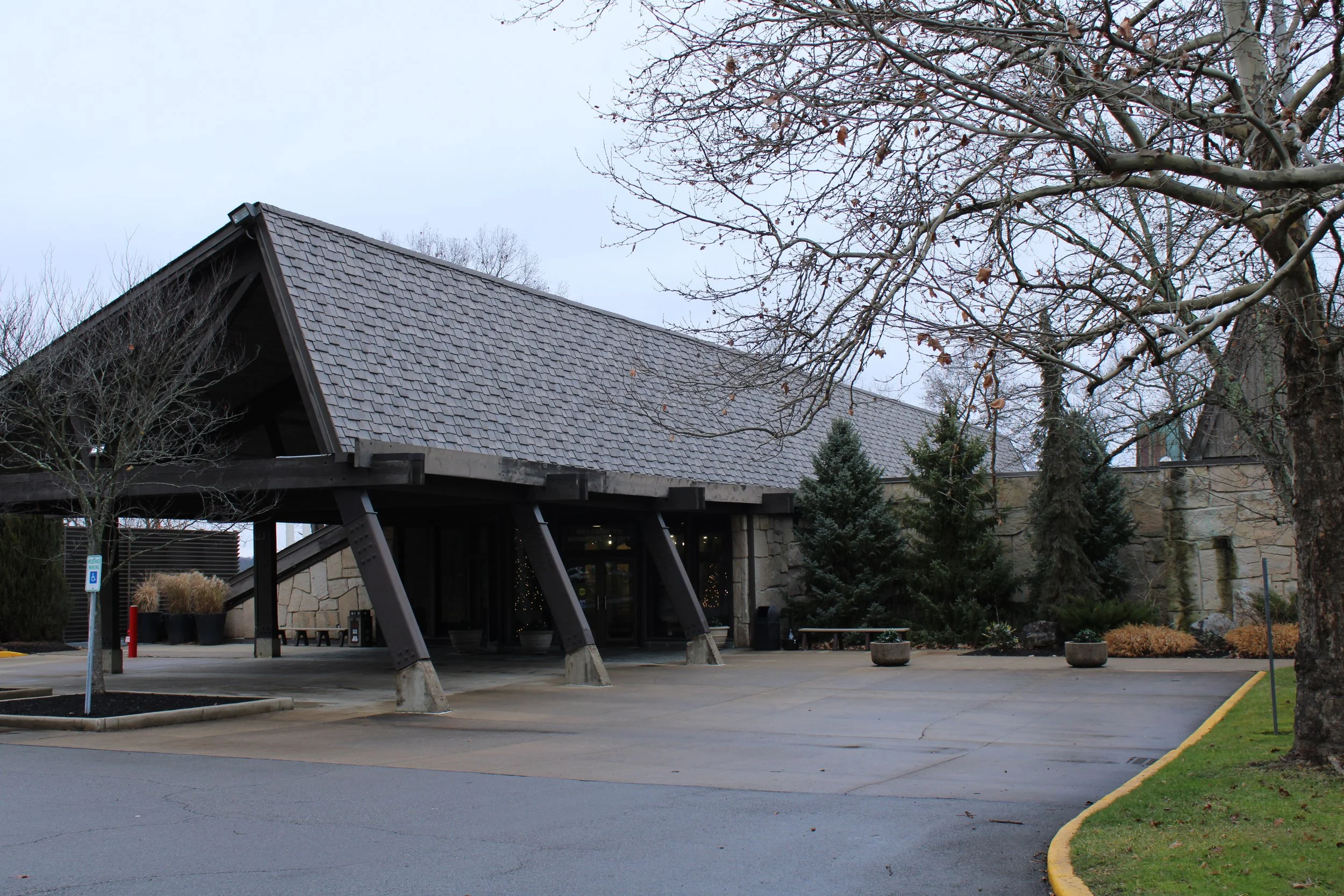
Mohican Mountain Bike Trail at Mohican Lodge & Conference Center
The trail entrance is located on the north end of the parking lot.
About the Trail
If you really want to earn that post-ride beer, take on The Whole Chimichanga. This 32-mile route connects all of the trails and routes in the Mohican MTB system, putting your skills, fitness, and endurance to the test.
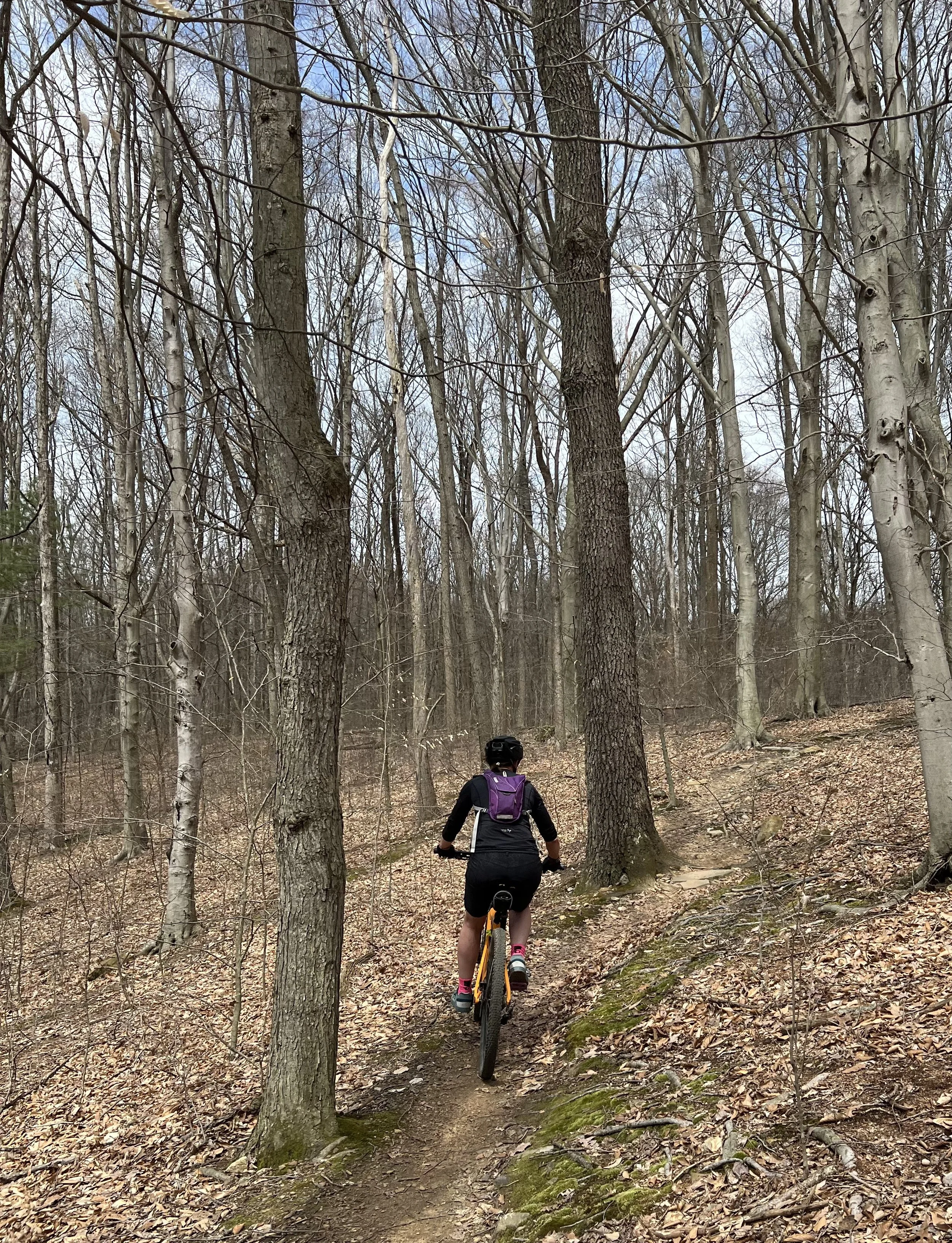
The Whole Chimichanga starts at the Mohican Lodge on the Osprey Trail, continues through the 30.06 Trail and the entire Mohican MTB Trail loop, and brings you back to the lodge. Along the way, you'll experience just about every feature Mohican has to offer—from roots and rocks to steep climbs, technical sections, and fast, fun descents.
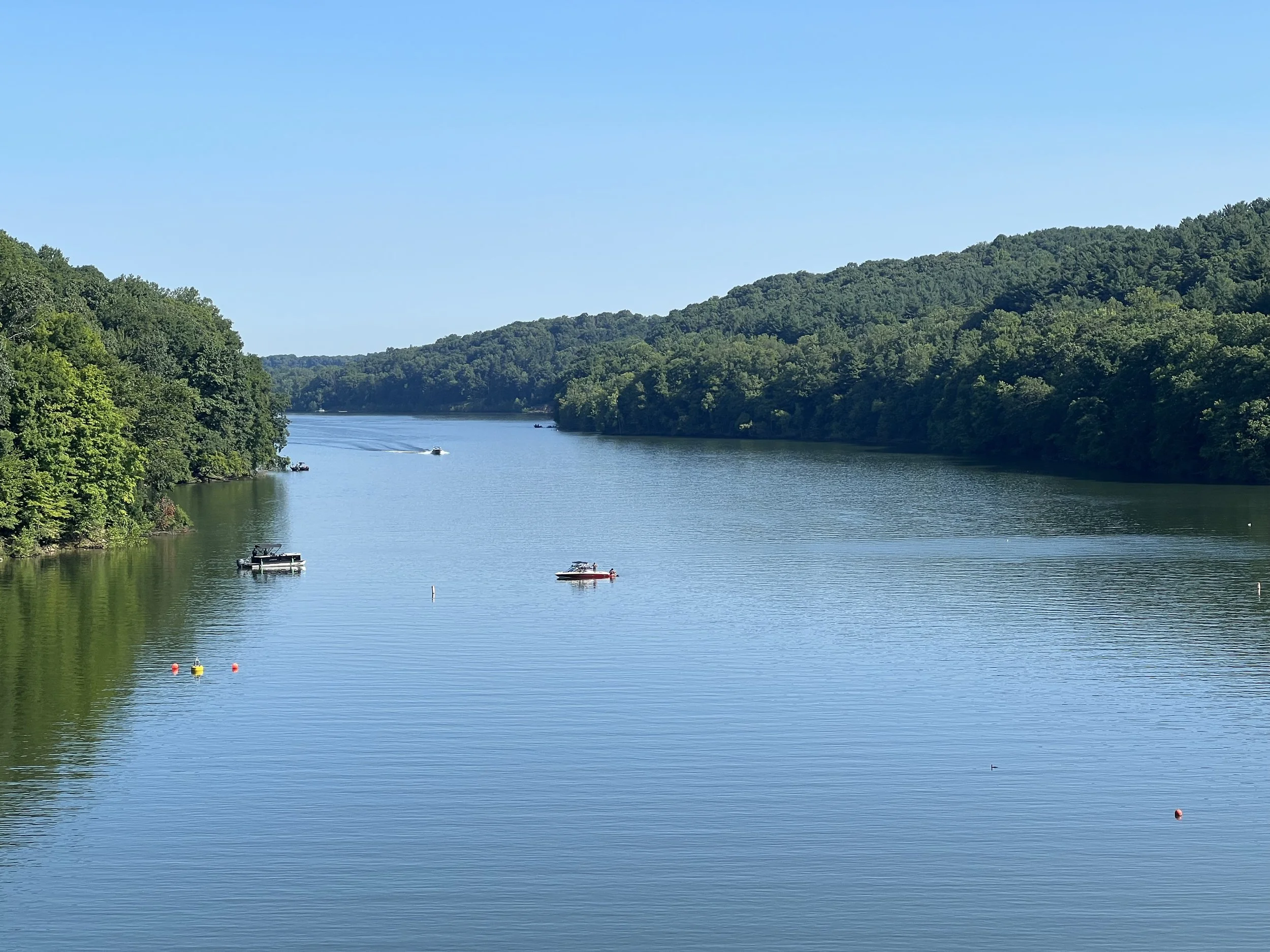
There are plenty of opportunities to stop along the way and take in the scenery, including several scenic overlooks throughout the state park. The route also takes you past the main campground, where you can stop at the visitor center to refill your water bottle or grab a snack at the camp store.
Route note: The lodge trails (Osprey and Buzzard), 30.06, and miles 1–8 are bidirectional. Follow posted trail signage and be aware of other riders.
Here’s a light polish that keeps the original tone and information, while cleaning up the flow and the list formatting:
Bailout Points
If the whole Chimichange proves to be more than you bargained for, there are several bailout options along the route. These access points connect to paved park roads, allowing you to shorten the ride and return toward your starting point. Keep in mind that leaving the trail does not necessarily mean an easy ride back—there may still be some climbing on the paved roads.
Bailout points are located approximately at:
Pleasant Hill Dam
Covered Bridge — Mile 10.5
Park Road — Mile 12.5
Sno-Mo Trailhead
Park Road — Mile 19.5
Main Campground
Mile 8
Shuttling is also an option for riders who want to tackle a portion of the route without committing to the full mileage.
After your adventure, plan to grab some food and drinks at the lodge or in nearby Loudonville. You’ll have earned it!
Trail Map
Know Before You Go
The following amenities are available at this trail.
Ride Preview
Photo Gallery


On-Trail Etiquette
Help keep the trail safe and enjoyable for everyone by following these simple guidelines.
Protect wildlife and prevent erosion by remaining on designated routes.
Cyclists yield to hikers and horses. Hikers yield to horses.
Speak calmly when approaching horses so riders and animals know you're there.
Leave no trace. Carry out everything you bring with you.
Maintain a safe speed and be prepared to stop for other trail users.
Avoid closed or muddy trails to protect the surface and ensure everyone's safety.
Love the ride? Give back.
Help support the trails, riders, and community that keep mountain biking moving.